About
I turn measurements into
things people can use.
I'm Anson, a GIS and 3D geospatial professional in Hong Kong. Most of my work starts with a scanner or a drone and ends with a plan, a model or a map that someone else has to trust — so the middle part, the registering and checking and documenting, is where I actually spend my time.
The case studies here are chosen to show that whole path rather than the pretty end of it: the prototype that measured graves, the point-cloud office that became floor plans, the drone experiment that only ever had to look convincing, and a document knowledge base built on the side.
01 / what I actually do
01 / Capture
Get the data in one visit
Handheld SLAM scanner, iPhone LiDAR with ARKit, or a drone depending on the site. Overlapping passes, a position for every record, and a check before leaving so nothing has to be re-flown.
02 / Process
Turn it into evidence
Registration, slicing, segmentation, measurement. The same cloud produces the area, the height and the drawing, so the three can never disagree with each other.
03 / Deliver
Make it openable
A plan on a desk helps one person. A viewer, a record or a map that opens in a browser helps whoever needs it next — no plugins, no training session.
02 / selected work
All projects ›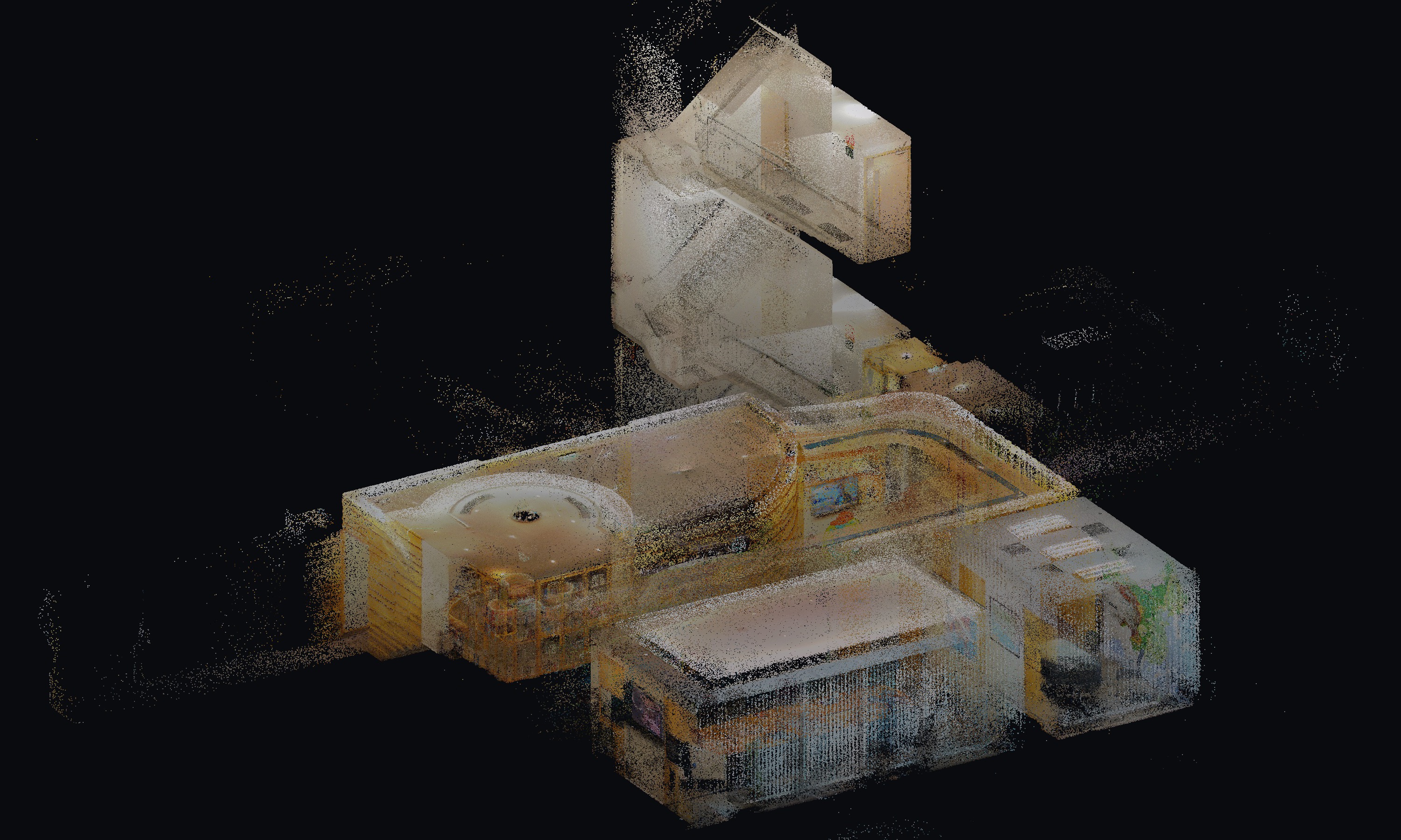
Office point cloud to floor plan
202687.8 million points of a fitted-out office, cut into floor plans.
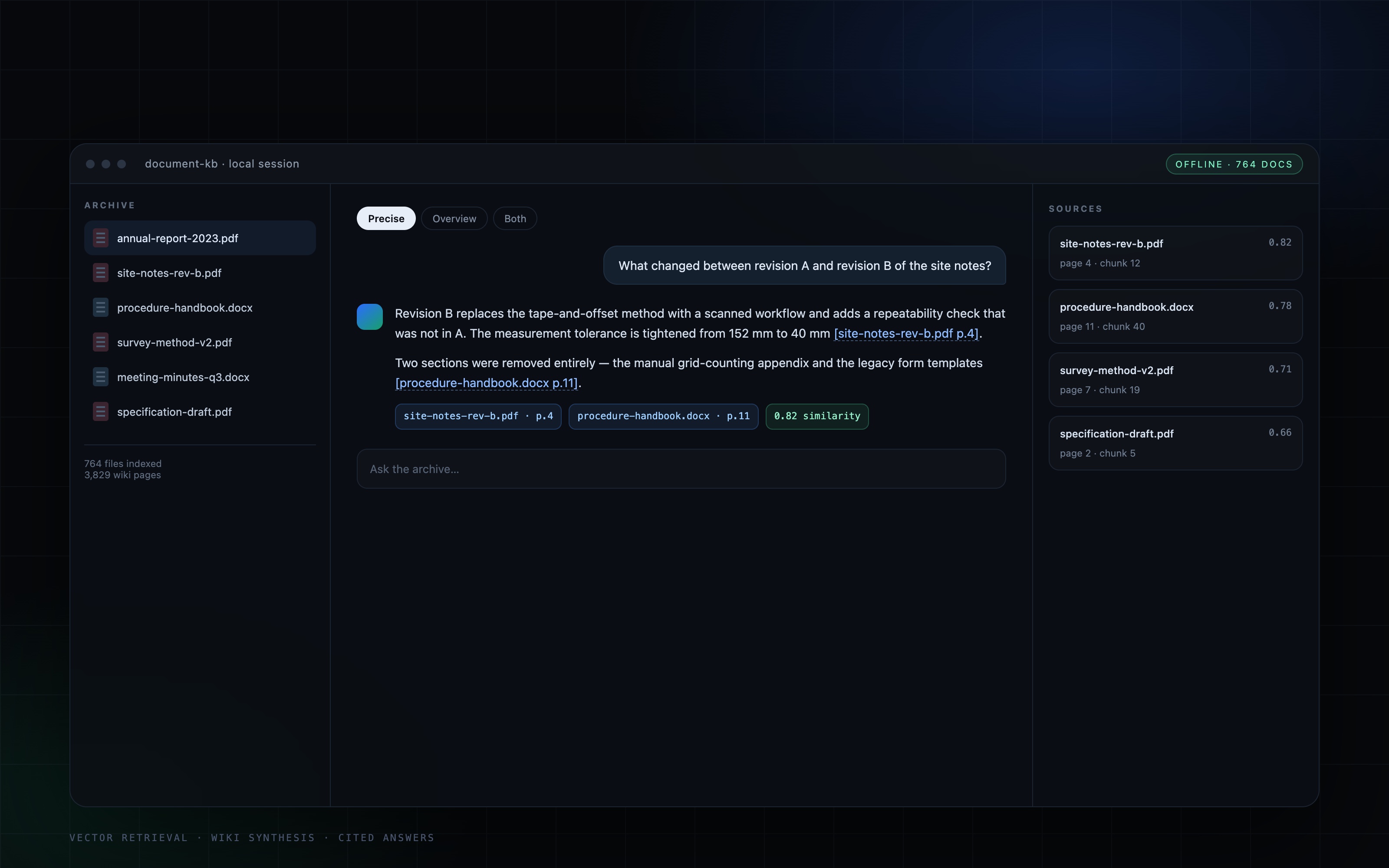
A document knowledge base that answers two ways
2026Vector search for exact answers, a generated wiki for overviews — one chat window for both.
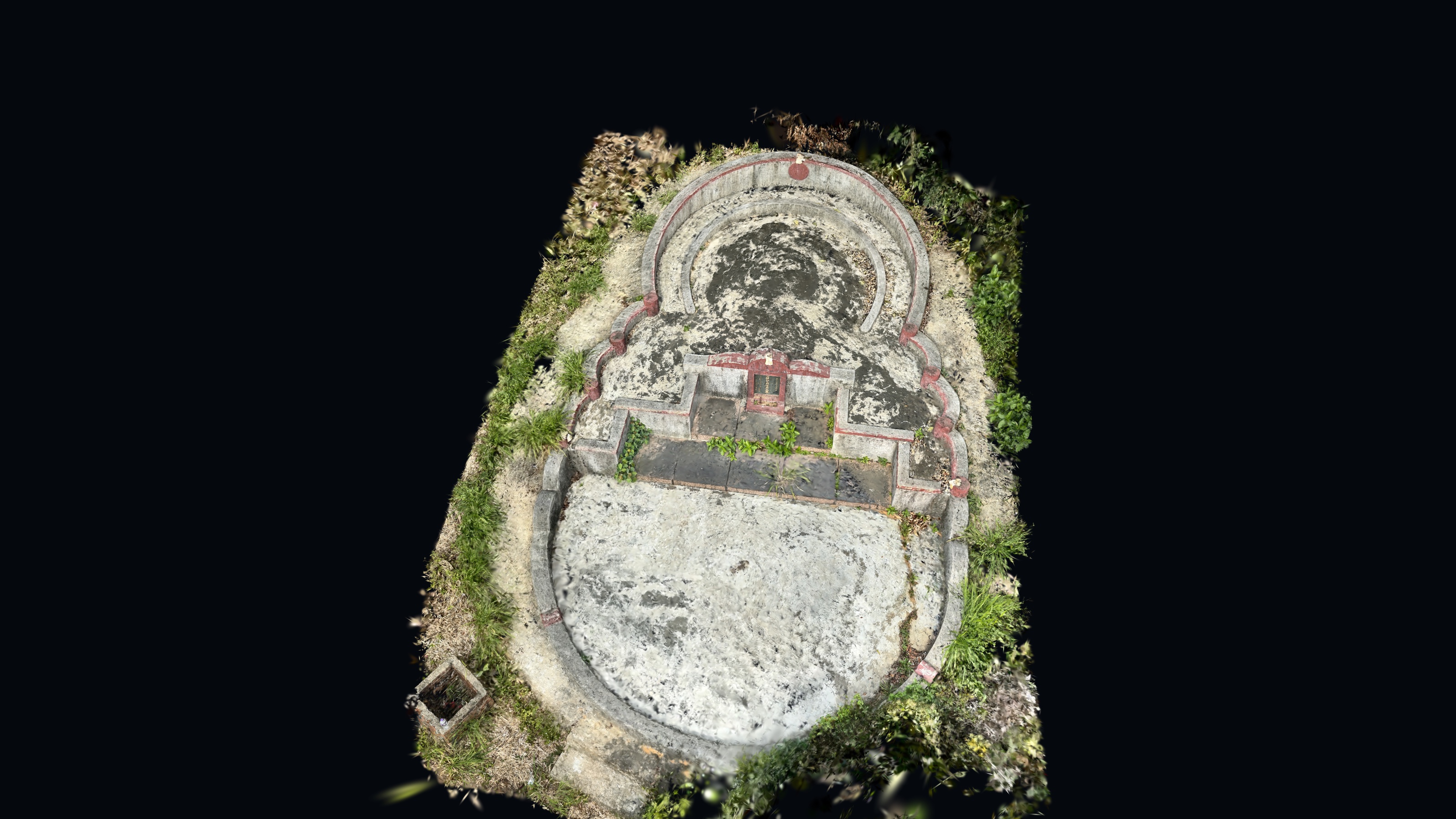
Mobile LiDAR grave survey prototype
2024Replacing tape-and-sketch grave surveys with an iPhone LiDAR workflow: 4–5 staff down to 1, 10–15 min down to 2 min.
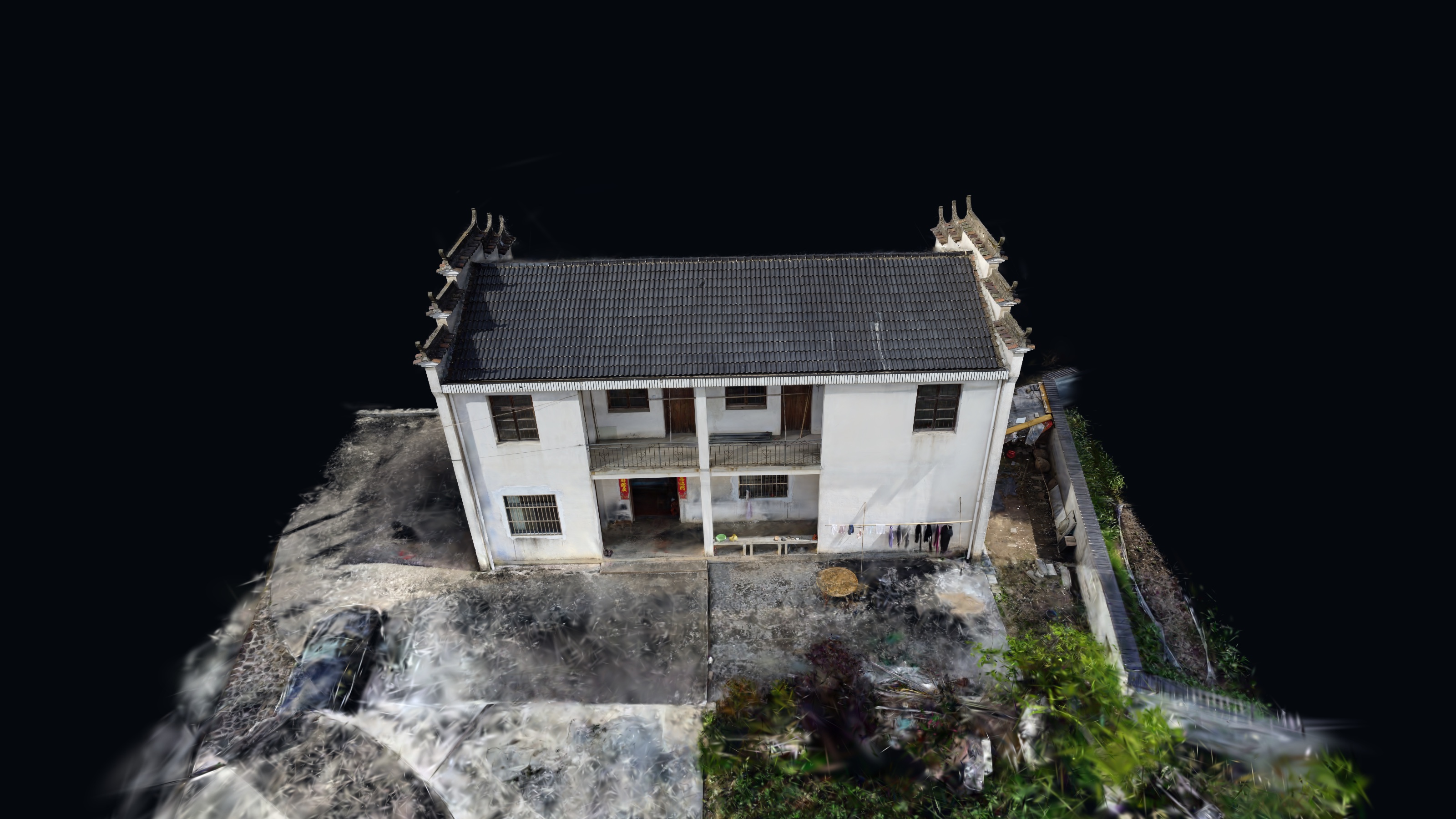
Drone photos to a 3D scene
2023A weekend experiment: consumer drone photos turned into a 3D Gaussian Splat you can orbit in the browser.
03 / tools I reach for
Field Capture
iPhone LiDAR · ARKit · DJI Mini 2 SE · UAV photogrammetry · Surveying
3D & Photogrammetry
COLMAP / SfM · 3D Gaussian Splatting · SuperSplat · Mesh processing · Point clouds
GIS & Software
ArcGIS · WebGIS · Unity · Geospatial workflows · 3D visualisation
Delivery
Interactive 3D viewers · TypeScript / React · Web publishing · Docs