Hong Kong · field capture → 3D → web
Field capture,
turned into maps and models.
GIS and 3D geospatial professional based in Hong Kong — surveying, drone capture, 3D reconstruction, and the maps and web tools that hold the data together.
scroll ↓
3D models · real captures
Village
Scroll to change angle
View 01 / 03
View 1
Loading Village…
preparing renderer · full resolution splat
Selected work
Case studies
 01
Point Cloud & Plans
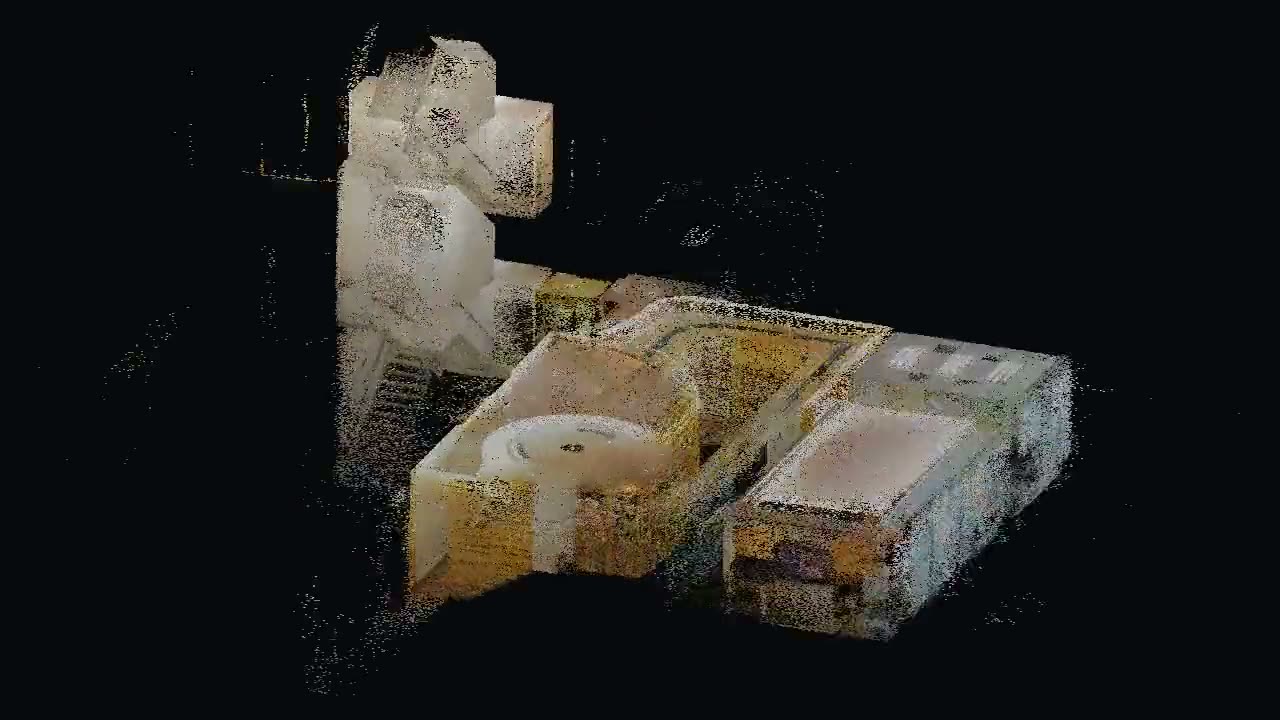
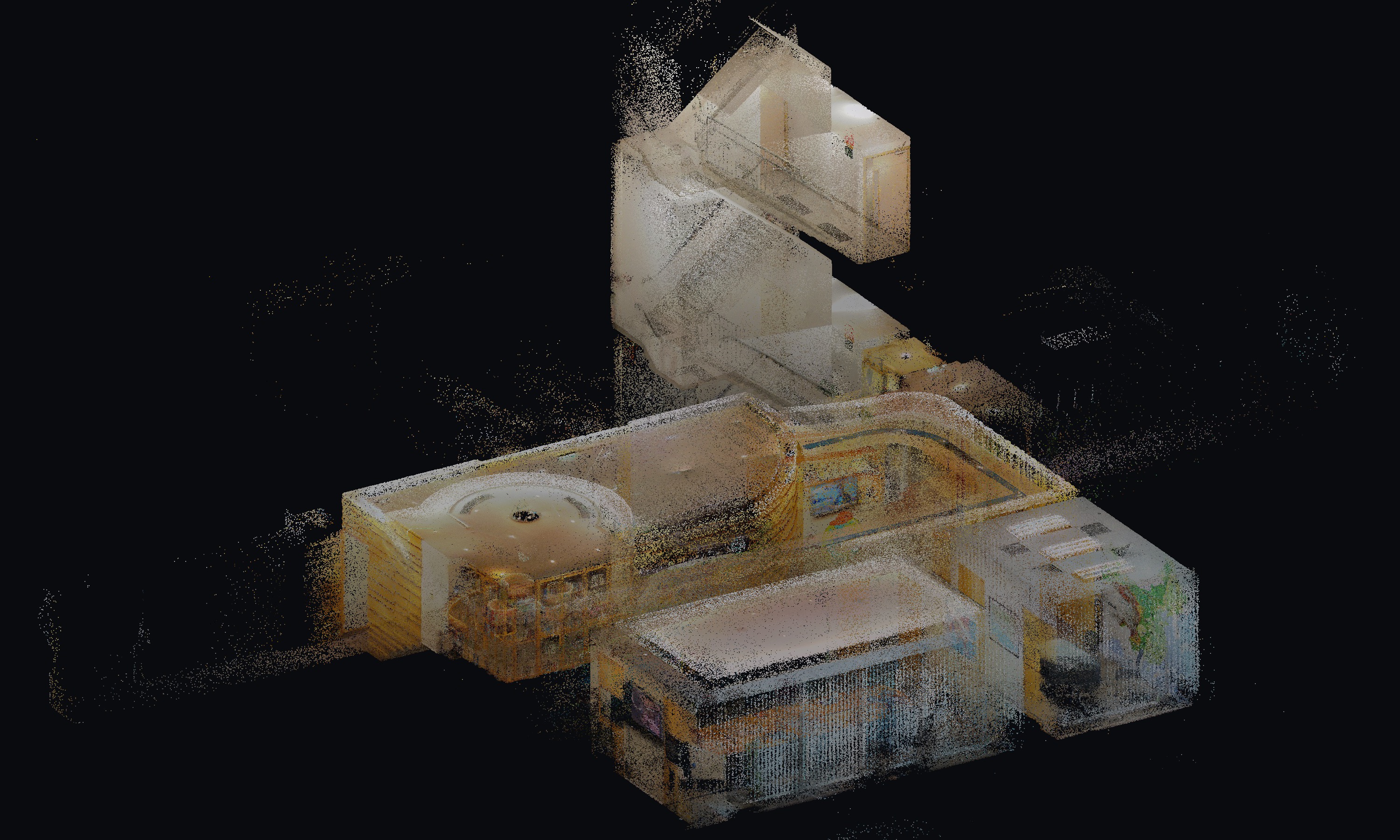
Office point cloud to floor plan
87.8 million points of a fitted-out office, cut into floor plans.
 02
Software & Data
A document knowledge base that answers two ways
Vector search for exact answers, a generated wiki for overviews — one chat window for both.
 03
3D Capture & Reconstruction
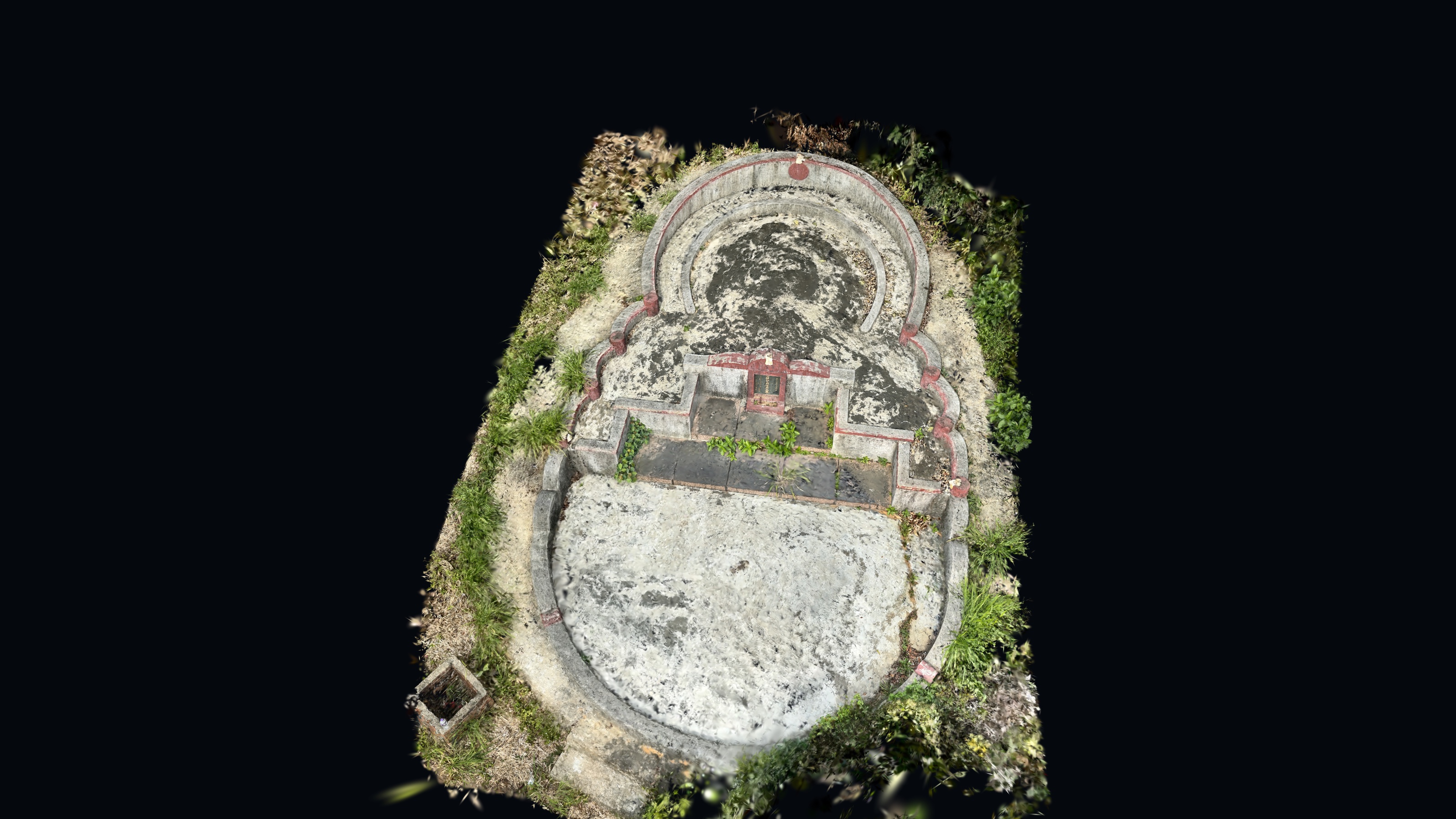
Mobile LiDAR grave survey prototype
Replacing tape-and-sketch grave surveys with an iPhone LiDAR workflow: 4–5 staff down to 1, 10–15 min down to 2 min.
 04
3D Capture & Reconstruction
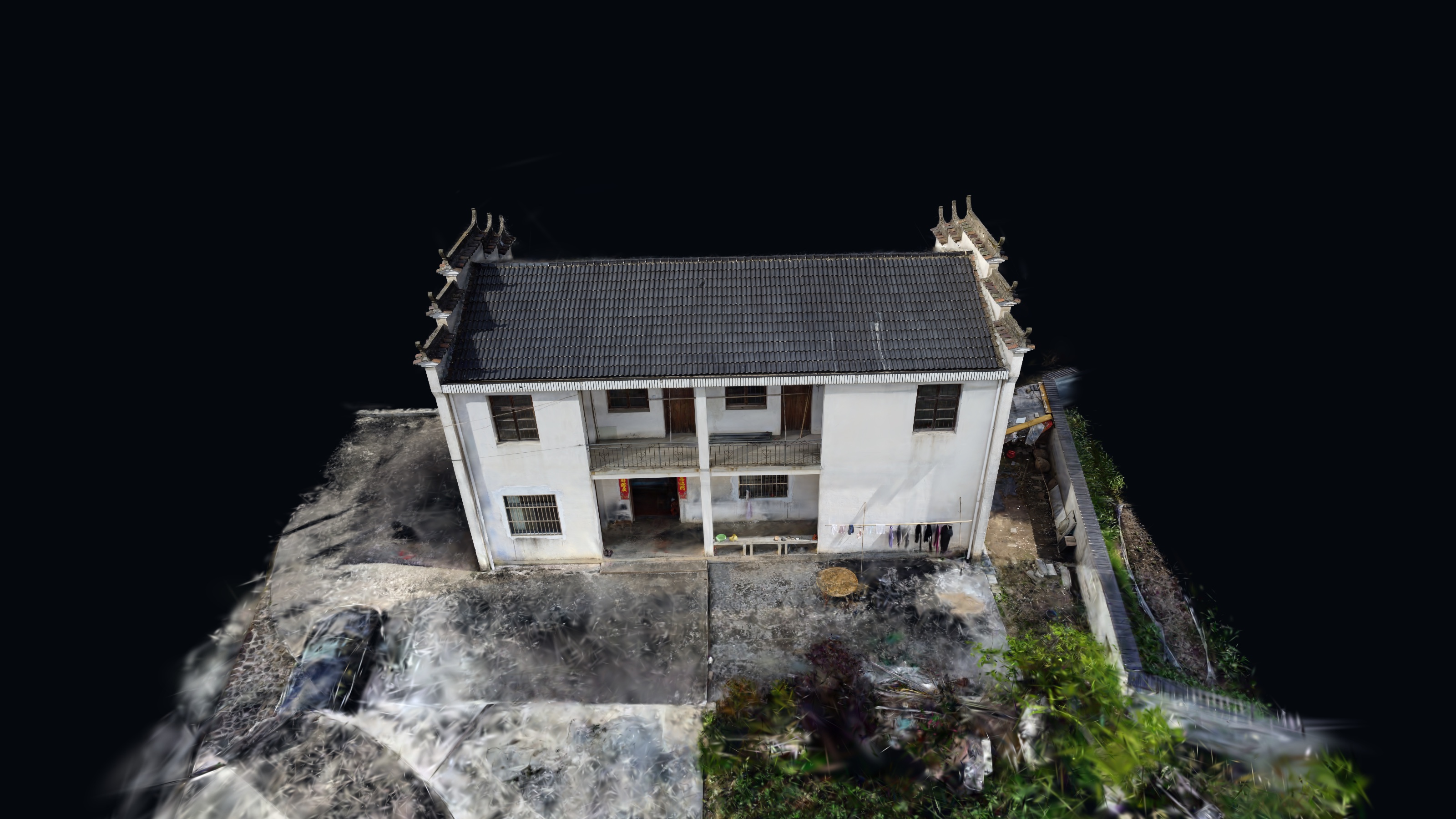
Drone photos to a 3D scene
A weekend experiment: consumer drone photos turned into a 3D Gaussian Splat you can orbit in the browser.
Contact
Get in touch
Hong Kong · 22.3193° N, 114.1694° E